Draw Metes and Bounds - DeedPro
Link Link Link LinkNew AI features!Try it now for free!


Draw metes and bounds AI - descriptions are commonly used in land surveying and legal contexts. These descriptions define the boundaries of a parcel of land using a combination of distances, angles, and compass directions.Try DeedPro.
(Limit of 5 call segments.)
Watch a getting started video.
DeedPro runs in your browser.
- No software to install. No downloads needed.
- Full featured software with AI for descriptions.
- Simple to use.
- Quickly draw deed surveys.
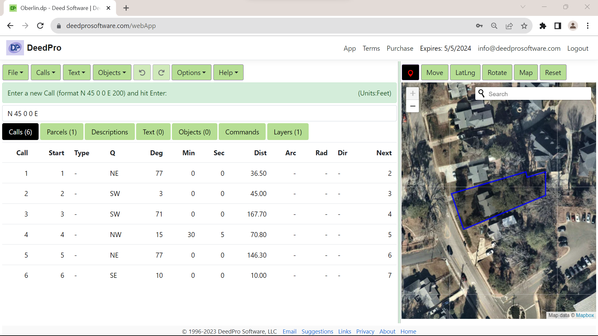
- Overlay on street maps.
- Great web based metes and bounds drawing software.
- 1 year license $199.95
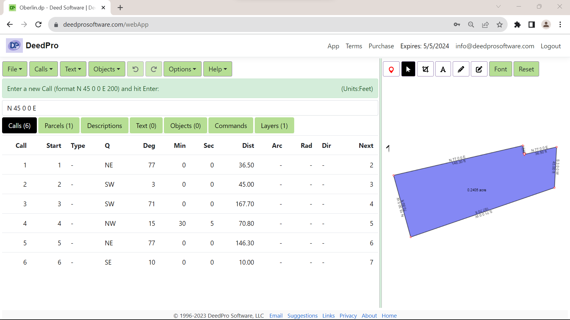
Enter metes and bounds to plot a land survey.

Overlay the plot on satellite data.

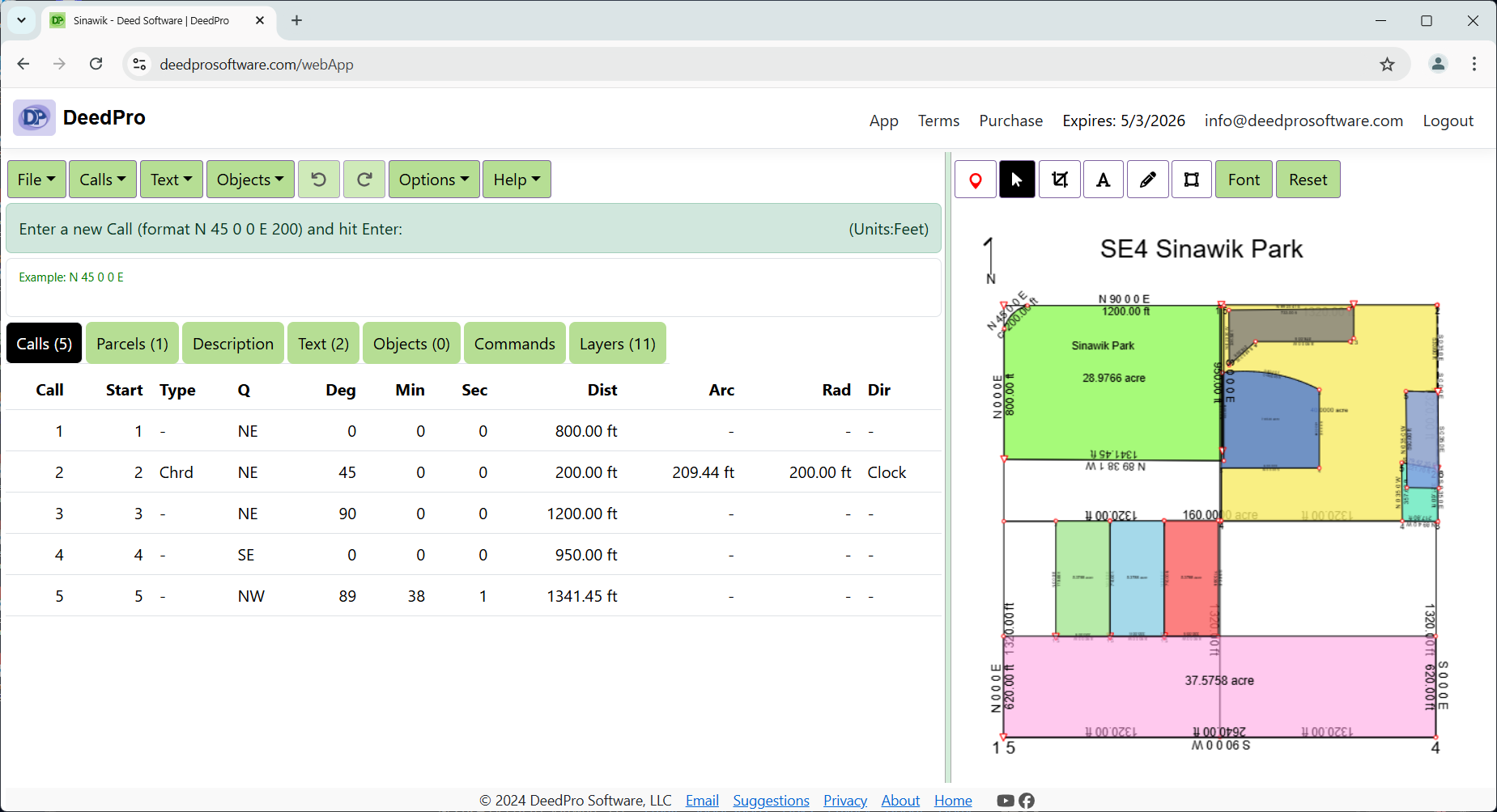
Include multiple plots together.

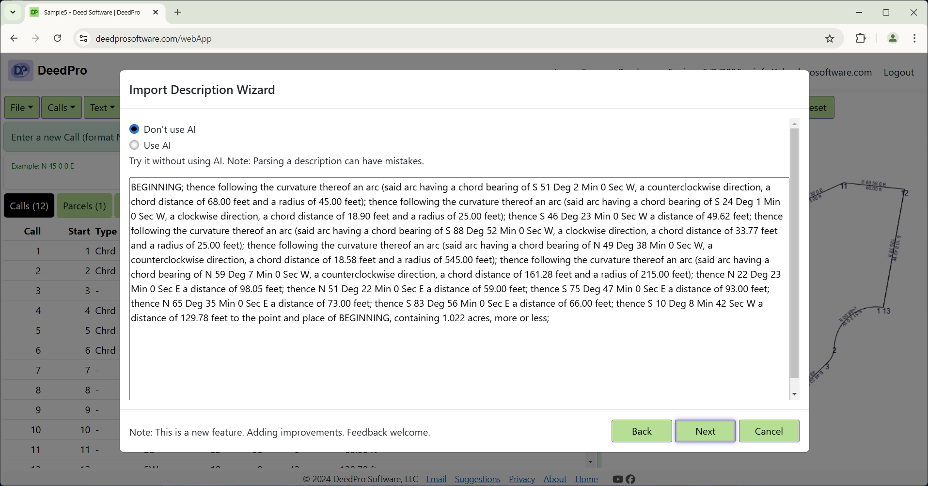
Read descriptions from image files and use AI if needed. You decide.
Note: Use File Import Description menu item.
